The Pascommuck Conservation Trust

Preserving our past. Protecting our future.

  • Facebook
  • YouTube
  • Home
  • News & Events
    • Events Calendar
    • News & Events
    • Newspaper articles archives
  • Get Involved
    • Join The Trust / Make a donation!
    • Become a Volunteer
    • Attend a board meeting
    • Other Ways to Help
    • Archive for Get Involved
  • Contact Us
  • Protect Your Land
  • Properties
    • Mutter’s Field Accessible Trail
    • Brickyard Brook Conservation Area
    • Broad Brook Meadows Conservation Area
    • Edward J. Dwyer Conservation Area
    • Hannum Brook Conservation Area
    • John Bator Park Conservation Area
    • Old Pascommuck Conservation Area
    • Old Trolley Line Conservation Area
    • Pomeroy Meadows Conservation Area
    • White Brook Plains Conservation Area
    • Archive for Properties
  • Trail Maps
    • Map of all PCT properties
    • Brickyard Brook Conservation Area/Mutter’s Field Accessible Trail
    • Broad Brook Meadows Trail Map
    • Edward Dwyer Conservation Area Trail Map
    • Hannum Brook Conservation Area Trail Map
    • Old Pascommuck Conservation Area Trail Map
    • Old Trolley Line Trail Map
    • Pomeroy Meadows Trail Map
  • About Us
    • Contact Us
    • Board Meetings/Board of Directors
    • President’s reports – Annual Meetings
    • Current Newsletter
    • Bylaws
    • Financials (Form 990)
    • Newsletter Archive
    • Video Archive
Home > Archives for Properties

The Properties that we protect

The Pascommuck Conservation Trust acquired its first parcel for preservation in 1982. That was the year that the Pascommuck Conservation Area was established. Since then we have acquired a total of 16 properties, comprising approximately 190 acres of land. This is land that will remain in a natural state, providing habitat, scenic vistas, and recreation as the City of Easthampton continues to grow and thrive. PCT has generally pursued the option of acquiring and holding property, rather than obtaining conservation easements or restrictions from other landholders.

Edward J. Dwyer Conservation Area

Description:

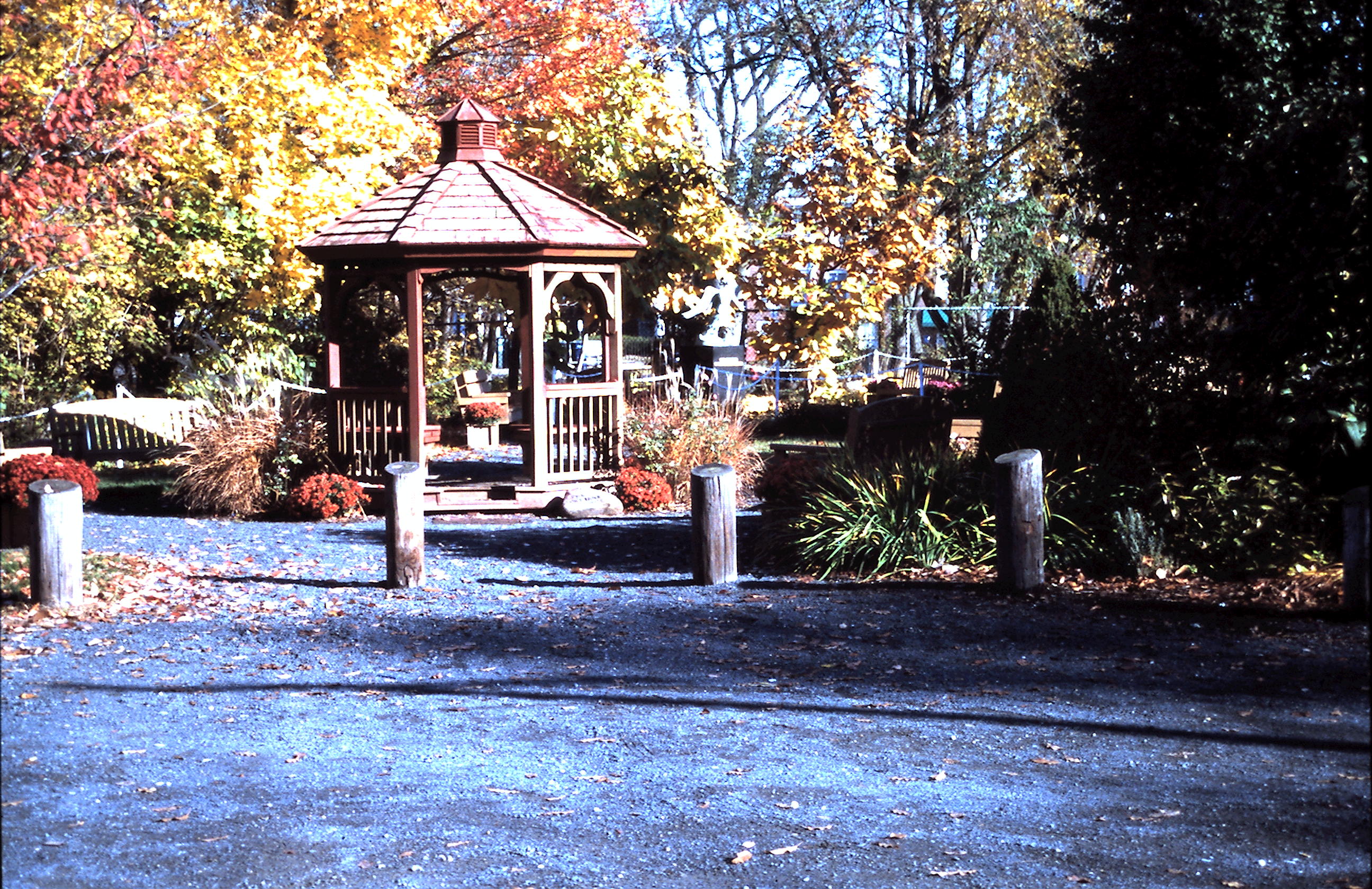
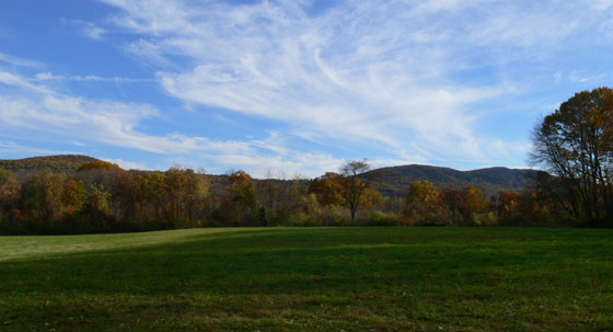
At 35 acres this is the largest of the Pascommuck holdings. It features a well marked and well maintained set of trails that enter from a parking spot alongTerrace View Road. The trails go along the Manhan River and through a White Pine Mixed Hardwood forest. The property also includes two other cover types: a Major River Floodplain Forest that occupies the area northeast of the entrance trail, and a “Red Maple Swamp” in another section near the river.

The floodplain forest is made up of nearly all silver maple. The central section of the conservation area is made up of a White Pine Mixed Hardwood forest. This area has a high enough elevation to be flooded rarely if at all. In addition to the white pine other trees such as black and red oaks, sugar and red maples, black birch, and hickory form a closed canopy.

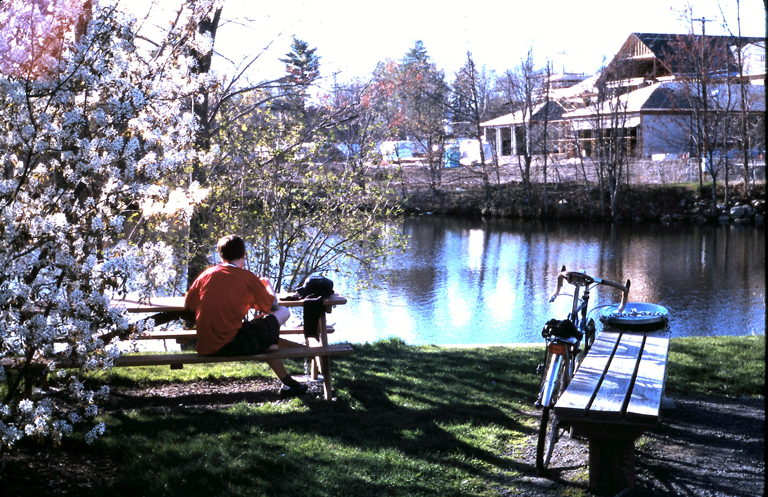
The stretch of the Manhan River here  has a silty bottom with no riffles. It is about 40 feet wide and 18-24 inches deep, although this fluctuates greatly depending on rain. The banks are about 5-10 feet high, undercut and muddy. The overhanging trees make good perches for kingfishers, and the logs protruding into the water which collect debris create microhabitats for turtles, fish, and invertebrates.

Assets:

The floodplain forest is the most interesting part of this conservation area.  Nearly the whole conservation area is included within BioMap Core habitat because it is part of an extensive riparian corridor along the Manhan River.

Accessible: Yes

Trails: Yes

Pomeroy Meadows Conservation Area

Description:

This 16.3 acre property lies on the western edge of Easthampton, with the south branch of the Manhan River forming its western boundary. The majority of the property is wetland, but there is an upland component too.

The Red Maple Forest is the largest community. It includes a section of shrub wetland in the southern half, which is  made up of impenetrable silky dogwood and multiflora rose with some Morrow’s honeysuckle as well. A floodplain red maple forest on the northern section is mostly red maple in the canopy with a little elm and ash. There are lots of multiflora rose in the understory. This community also includes a narrow strip along the west boundary is a mixed hardwood forest with red and black oak, black birch and maple. Some streams enter into this portion from the east, coming down some steep and muddy ravines.

On an elevated bench at the north end is a White Pine Forest. This stand is a good habitat for roosting or nesting owls, hawks, or crows. The shrub layer in it is sparse, but contains lowbush blueberry, arrowwood, burning bush, glossy buckthorn, and Japanese barberry. These last three species are all invasive and likely colonized here following this stand’s history as a pasture, which is evidenced by some sprawling juniper bushes. In the ground layer are lots of seedlings of bittersweet along with such common plants as Christmas fern, Canada mayflower, intermediate wood fern, and princess pine.

The third community is a vernal pool almost completely filled with buttonbush.

The fourth community is a shallow marsh that is a beaver-flooded wetland with somewhat more diversity. In addition to buttonbush it also contains cut-grass, halberd-leaf tearthumb, dodder, and spotted touch-me-not. There is a small area of open water in the center.

The Manhan River itself is 20-25 ft wide, 1-3 ft deep, has a silty, sandy bottom, and mud banks 6-7 ft high. It is mostly unshaded in this section.

Assets:

The best features of this property are its relatively large size and its lack of disturbance by humans (except indirectly by the invasive plants). The conservation status of this property helps retain the integrity of the Manhan River corridor. The Manhan River here is classified as Living Waters Core Habitat and the conservation area itself is included in BioMap Core Habitat. The NHESP database indicates that three rare species have been recorded in the vicinity of this area.

The birds seen here are a mix of forest species, open-shrubby species, and those who utilize the river.

Accessible to the Public: Yes

Click here to view a virtual tour of Pomeroy Meadows.

Access to trails is at the end of Ranch Ave. Refer to maps.

John Bator Park Conservation Area

Description:

John Bator Park FallLocated on the south shore of Rubber Thread Pond and adjacent to City Hall, this tiny, but popular half-acre conservation in the center of town has big management issues, as well as many assets. The property, located on the south shore of Rubber Thread Pond is primarily used for fishing. The shoreline here is accessed by a trail through a forested strip between the pond and Lake Street. At the east side of the conservation area there is a small parking area,a gazebo, picnic site, and steps down to the water. At the west end of the property is a small open area under two large sugar maples.

The woods along the shore contain primarily sugar maple, red maple, and red oak, with lesser amounts of Norway maple, black locust, paper birch and white ash. The shrub layer is mostly sugar maple but also contains Norway maple, false indigo (a non-native but non-invasive species), Japanese barberry and several other native and non-native species. The ground layer is a mix of herbs, ferns, and grasses, most of which are native.

Assets:

Despite the challenges from being an in-town park, this property provides city dwellers a taste of nature, and does have valuable habitat features for wildlife. The landscaped areaJohn Bator Park Spring has been thoughtfully planted with a variety of non-invasive fruit-bearing shrubs. A shadbush tree planted by the parking area provides ripe fruit for birds.

This park is a rejuvenating spot for people on their lunch break, nearby residents seeking some contact with nature, or for fishing.

Trails: Yes


Old Pascommuck Conservation Area

Old Pascommuck signageDescription:

This conservation area, at the far east side of town on East Street comprises 4.64 acres including the E. Florence Smith nature trail. The area is bisected by the Manhan Rail Trail into two parcels of unequal size, with the substantially larger area located along the Manhan River floodplain. A parking pullout with a picnic area is on East Street, and from here a trail goes east, passing beneath the Rail Trail on an abandoned road to reach the lower portion of the area. Vegetative cover varies across the site, including a Northern Hardwood forest, Mixed Hardwood-Hemlock Forest, High Terrace Floodplain Forest, and Transitional Floodplain Forest.


Assets:

This is a nice example of a floodplain forest with easy public access. Though the property is small, there are several trails that cross through all the forest types. It hosts a nice variety of native plants with remarkably few invasive plants. A rare sedge has been reported in the lower portion of the property in the transitional floodplain forest. Another interesting, though not rare plant is the native shrub bladdernut, which is abundant at the west end of the property.

Three rare animal species have been recorded in the NHESP database as occurring in or near this conservation area. This stretch of the Manhan River is also classified as Living Waters Core Habitat.

Accessible to the Public: Yes

Trails: Yes

Old Trolley Line Conservation Area

Description:

trolley-Line-fall-09-copyThis 18 acre conservation area has a mixture of forest, fields, vernal pools and other small wetlands. The forest was logged heavily within the last 15 years or so, with many large stumps and coarse woody debris on the ground. The re-grown forest is a mix of hardwoods with black and gray birches, red oak and red maple most heavily represented. The northern field is mostly goldenrod and milkweed and the southern field is more diverse, with grass, steeplebush, sensitive fern, goldenrod, English plantain and Queen Anne’s lace most heavily represented. Access is from the old trolley line, owned by the MA Audubon, on the western boundary of the conservation area. There is a north entrance and a south entrance between the trolley line and the fields.

There are three old oxbows on the property, two of which are vernal pools.

Assets:

The variety of habitats includes open fields, vernal pools and forest makes for a nice diversity of wildlife. Twenty-eight bird species have been counted here so far along with 8 species of butterflies and 7 species of dragonflies. A spotted turtle, snapping turtle, and a garter snake were the only reptiles confirmed, but others are likely present.

This conservation area is part of a large complex of wetlands, field, and forest that ultimately connects to the Connecticut River oxbow. This connectivity strongly boosts its conservation value.

Accessible to the Public: Yes

Trails: Marked and mapped trails now available.

Access to the area is via the trolley line entrance located off of Clapp Street (refer to Google map).

  • « Previous Page
  • 1
  • 2
  • 3
  • Next Page »

Consider donating today! If applying for membership indicate membership under designation.

Donate today

Copyright © 2025 Pascommuck Conservation Trust · PO Box 806 Easthampton, MA 01027
Design by Jo Landers
Free Nonprofit Hosting courtesy of DreamHost